MGP Pro Demonstration
Instant access to VHR satellite imagery via web or API. European Space Imaging recently recorded a webinar in which they demonstrated all the functionality of
MGP Pro Demonstration
Instant access to VHR satellite imagery via web or API. European Space Imaging recently recorded a webinar in which they demonstrated all the functionality of

MGP Pro Demonstration
Instant access to VHR satellite imagery via web or API. European Space Imaging recently recorded a webinar in which they demonstrated all the functionality of
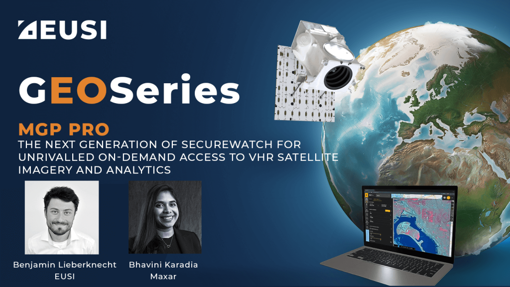
MGP Pro: The Next Generation of SecureWatch for On-demand Access to VHR Imagery
MGP Pro provides unrivalled coverage, quality and flexibility. Its subscribers can access over 3 million square kilometers of daily image collections, plus more than 6 billion sq km of archived imagery at up to 30 cm resolution.
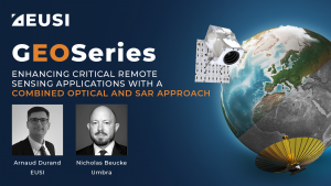
Enhancing Critical Applications With A Combined Optical and SAR Approach
For the first time in history, users can schedule synchronised collections of 25 cm SAR and 30 cm Near Real-Time optical imagery to mitigate weather and gain deeper insights of events unfolding on the ground. This is especially valuable for Emergency Response, GEOINT and other applications.

Berlin 30 cm DSM from GAF AG using Tri-Stereo Satellite Imagery from EUSI
This high quality 30 cm resolution Digital Surface Model (DSM) was created by GAF AG utilizing 30 cm Very High Resolution Tri-Stereo Satellite Imagery collected by European Space Imaging (EUSI). This model is part of EUSI’s initiative to map all major European metro areas in 3D on a yearly basis.
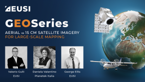
Aerial vs 15 cm Satellite Imagery for Large-Scale Mapping
Do you need to map a large urban area? This webinar presents all you need to make a well-informed decision between aerial and 15 cm satellite imagery.

On Demand Satellite Imagery Access with Maxar SecureWatch
A SecureWatch subscription gives you instant access to the best satellite imagery and geospatial data via web browser or API integration; and you don’t have
Satellite vs Aerial Imagery: Which To Use And How To Combine Them
Satellite vs Aerial Imagery: Which To Use And How To Combine Them Remote sensing projects can often begin with the question “Should I use aerial
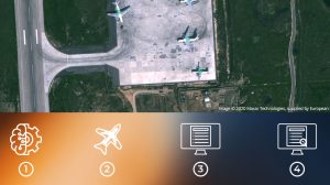
AI Chain from Geo4i
AI Chain from Geo4i The AI Chain from Geo4i is a GEOINT & IMINT API environment for the automatic detection of generic objects in satellite
MGP Pro Demonstration
Instant access to VHR satellite imagery via web or API. European Space Imaging recently recorded a webinar in which they demonstrated all the functionality of
Satellite vs Aerial Imagery: Which To Use And How To Combine Them
Satellite vs Aerial Imagery: Which To Use And How To Combine Them Remote sensing projects can often begin with the question “Should I use aerial

The Rise of Elevation Data – What is a DEM and Which Solution is Best for You?
The world exists in three dimensions and often, so does satellite imagery. But with so many types of Digital Elevation Models, each created via different
Satellite Image Accuracy – What is geolocational accuracy and what does it mean for your data?
Satellite imagery has revolutionised industries, all around the world. The resolution and clarity of these images keeps increasing and because of that, it is important
(Turkish) VHR Uydu Görüntüleriyle ÇalışmaKentsel Değişim Tespiti ve Arazi Sınıflandırması
Şehir planlamasında sonuçlarınızı iyileştirmek ve projeleriniz için en uygun verilere nasıl kolayca erişebileceğinizi öğrenmek mi istiyorsunuz? More Videos

(German Speaking) Vom Multistereo zum hochaufgelösten Höhenmodell – Europa in 3D
Sehen Sie, wie European Space Imaging Multistereo Satellitenbilder mit einer Auflösung von 30cm aufnimmt und GAF AG daraus höchst genaue Höhenmodelle und 3D Visualisierungen kreiert.

SecureWatch Demonstration
Instant access to VHR satellite imagery via web or API. European Space Imaging recently recorded a webinar in which they demonstrated all the functionality of
MGP Pro: The Next Generation of SecureWatch for On-demand Access to VHR Imagery
MGP Pro provides unrivalled coverage, quality and flexibility. Its subscribers can access over 3 million square kilometers of daily image collections, plus more than 6 billion sq km of archived imagery at up to 30 cm resolution.
Enhancing Critical Applications With A Combined Optical and SAR Approach
For the first time in history, users can schedule synchronised collections of 25 cm SAR and 30 cm Near Real-Time optical imagery to mitigate weather and gain deeper insights of events unfolding on the ground. This is especially valuable for Emergency Response, GEOINT and other applications.
Berlin 30 cm DSM from GAF AG using Tri-Stereo Satellite Imagery from EUSI
This high quality 30 cm resolution Digital Surface Model (DSM) was created by GAF AG utilizing 30 cm Very High Resolution Tri-Stereo Satellite Imagery collected by European Space Imaging (EUSI). This model is part of EUSI’s initiative to map all major European metro areas in 3D on a yearly basis.
Aerial vs 15 cm Satellite Imagery for Large-Scale Mapping
Do you need to map a large urban area? This webinar presents all you need to make a well-informed decision between aerial and 15 cm satellite imagery.
On Demand Satellite Imagery Access with Maxar SecureWatch
A SecureWatch subscription gives you instant access to the best satellite imagery and geospatial data via web browser or API integration; and you don’t have
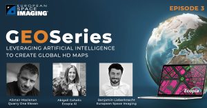
Leveraging Artificial Intelligence To Create Global HD Vector Maps
Ecopia Global Feature Extraction (GFX) Powered by European Space Imaging is a unique partnership that utilises the freshest, highest quality satellite imagery along with the
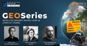
Satellite Imagery Saving Lives in Conflict Zones
From locating and disarming landmines to combating illegal mining, monitoring armed conflict, mapping internally displaced populations and subsequent camps as well as tracking oil pollution
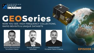
NOW YOU SEE: High Frequency Collection, Rapid Revisits & Unique Datasets
The first episode aired on Thursday 18 March 2021 and was moderated by Aravind Ravichandran, Founder of TerraWatch Space. He was joined by Thomas VanMatre,


