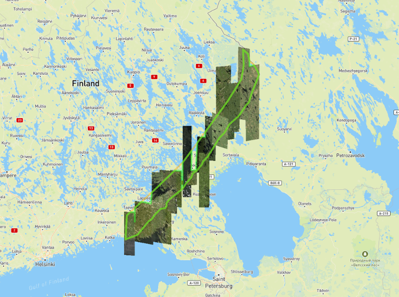
EUSI Will Soon Offer Intraday Monitoring Across Europe After Maxar’s Second Successful Launch of WorldView Legion Satellites
With the successful launch of Maxar Intelligence’s second set of WorldView Legion satellites, European Space Imaging (EUSI) will soon offer up to eight daily collection opportunities in key latitudes across Europe and North Africa – a number that will increase after the final WorldView Legion satellites are launched and all six satellites are operational.
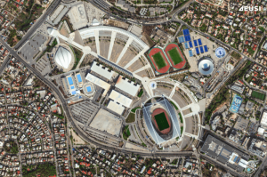
A Bird’s-Eye View: Olympic Stadiums of Europe from Space
The whole world is watching the Olympic Games in Paris with bated breath. But it’s not the first time the Summer Olympics have been held in Europe – 14 stadiums have been built across 10 countries, each of them unique and capturing the spirit of the cities that hosted them. Which one is your favourite?
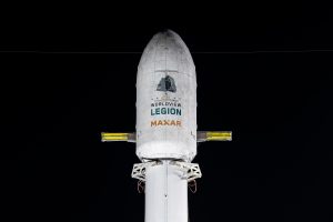
Maxar Intelligence Releases First Images from WorldView Legion as EUSI Prepares Munich Ground Station for European Downlink
Satellite Imagery © 2024 Maxar Technologies Provided by European Space Imaging Munich, Germany – Maxar
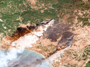
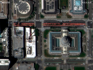
Satellite Imagery for Emergency Management
The use of satellite imagery for emergency response and management is invaluable. Both optical and SAR images help rescuers save lives when disasters happen, assist with damage assessments, and in many cases contribute to successfully preventing and predicting emergencies. Which events can be prevented? How exactly do first responders use satellite images? When are they better than other methods? We have summarised our 20+ years of experience in this article.


