
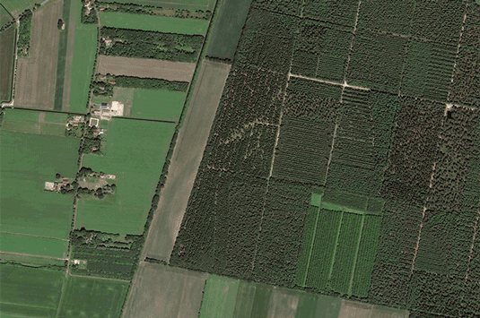


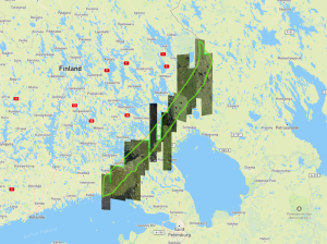
EUSI Monitors Baltics-Russian Border Amid Dangerous Conditions for Aerial Remote Sensing and GEOINT Data Collection
European Space Imaging (EUSI) is working closely with European intelligence agencies and key NATO MoDs to continuously monitor the volatile border along Estonia, Finland and Latvia. Between widespread GPS jamming, increased Russian air activity and military postering along these border regions, it has become unsafe for many commercial and government aircraft to collect vital data for both security and civil mapping projects.
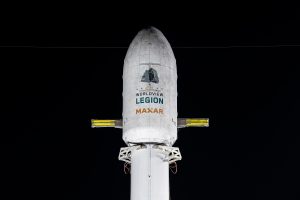
EUSI Will Soon Offer Intraday Monitoring Across Europe After Maxar’s Second Successful Launch of WorldView Legion Satellites
With the successful launch of Maxar Intelligence’s second set of WorldView Legion satellites, European Space Imaging (EUSI) will soon offer up to eight daily collection opportunities in key latitudes across Europe and North Africa – a number that will increase after the final WorldView Legion satellites are launched and all six satellites are operational.
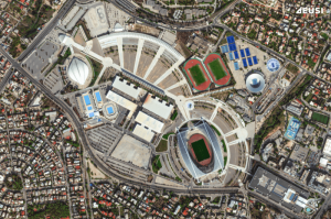
A Bird’s-Eye View: Olympic Stadiums of Europe from Space
The whole world is watching the Olympic Games in Paris with bated breath. But it’s not the first time the Summer Olympics have been held in Europe – 14 stadiums have been built across 10 countries, each of them unique and capturing the spirit of the cities that hosted them. Which one is your favourite?


